
After leaving Salt Lake City, I headed south, stopping around Spanish Fork to go hiking for a day and then continuing until I reached Marysvale, where I saw some mountains that looked like they were worth climbing, and headed east up a dirt road getting to a campsite in the canyon just before dark.
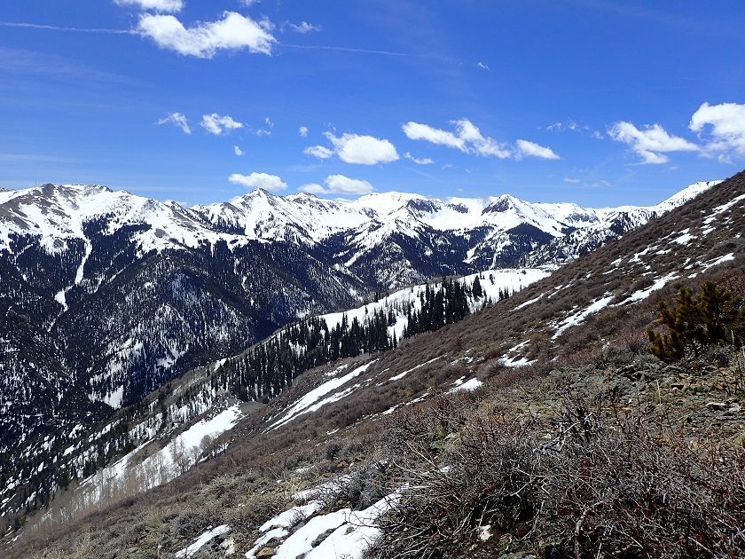
In the morning I woke and packed a light daypack and headed up the south side of the canyon, scrambling up small boulders and the winding my around until I was out of the canyon, onto the west side of the mountain range.
When I started it was all sagebrush and juniper, as I got higher up, it turned to spruce and aspen on the north side of the ridge, while the south-facing side was completely bare of trees.
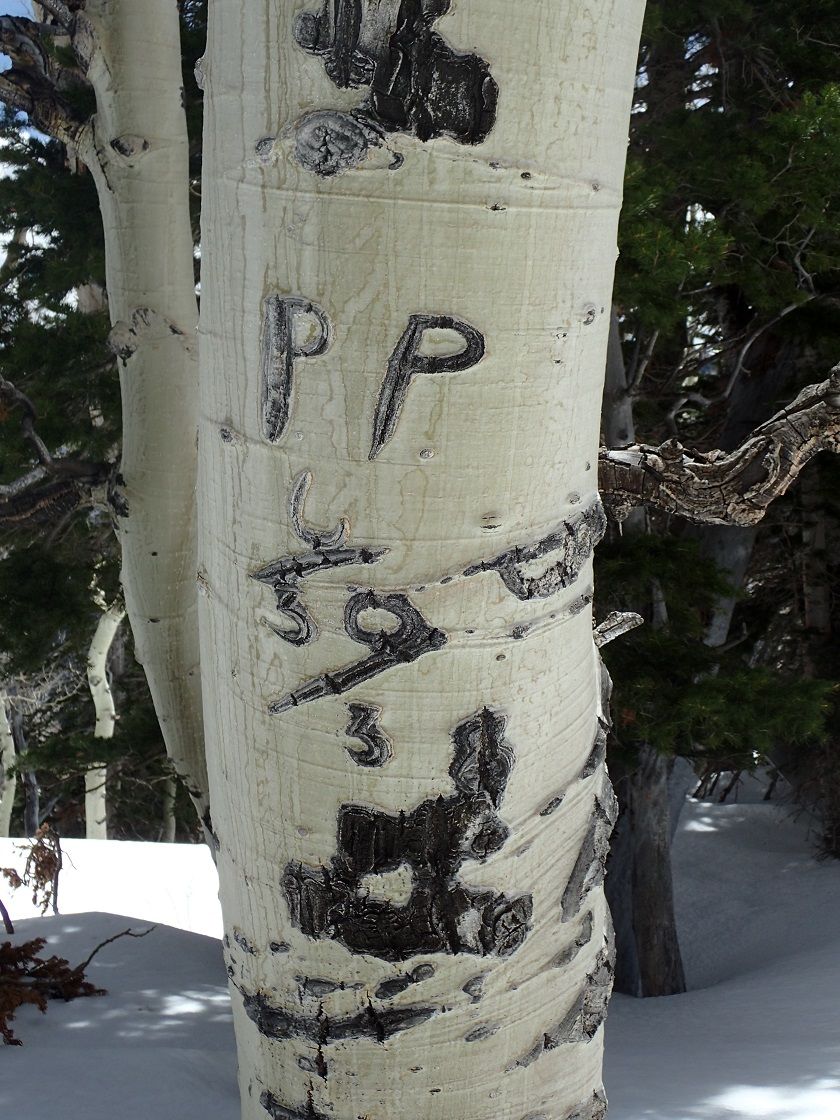
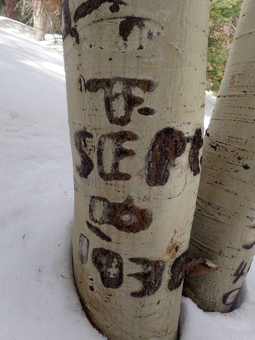
I saw probably 20-30 mountain goats and passed quite a number of trees that had been initialed by sheepherders back in the early 1920-30's which I found rather interesting.
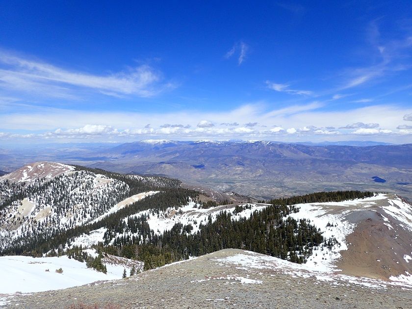
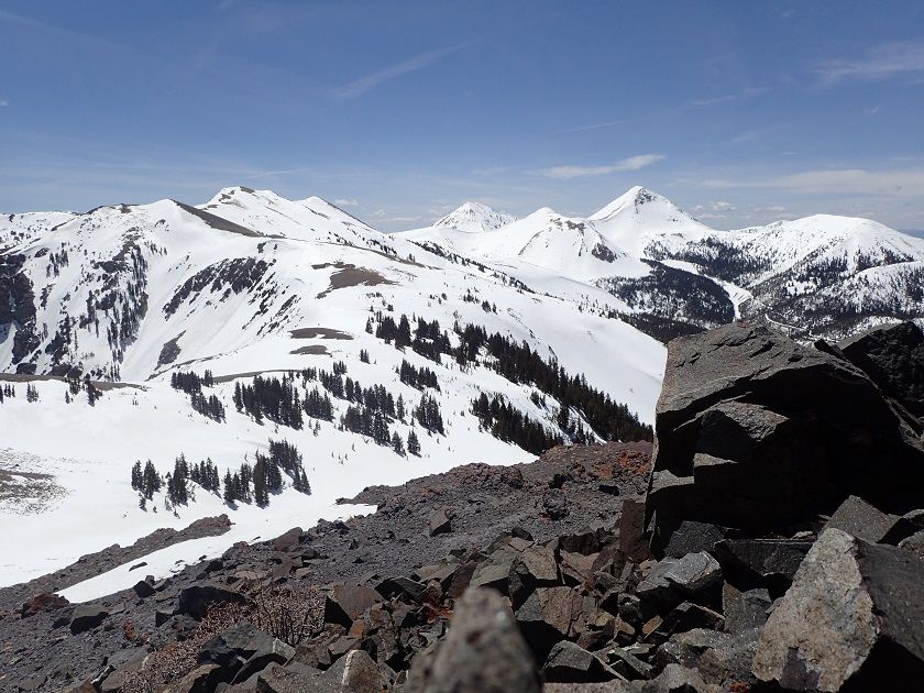
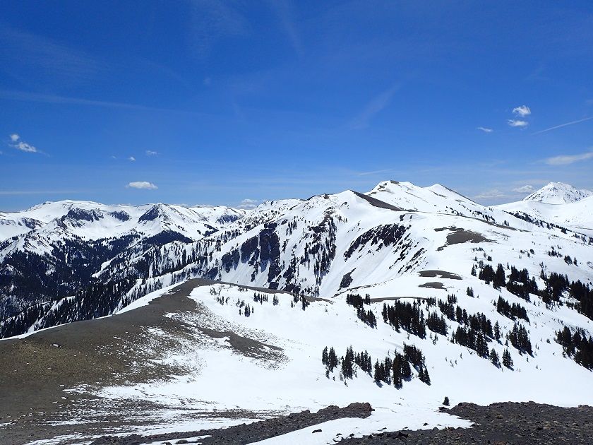
Eventually, I got out of the trees completely and got to the final leg of the climb where I had to kick steps in the snow in order to ascend. Upon reaching the top, I sent a message with my inReach and took a number of photographs.
On the way down the peak I was able to glissade for a little bit, and then it was back to slogging through the brush all over again. Instead of going the long way back, I descended directly into the canyon to the south, in order to walk back on the road that went through it.
I saw several grouse on the way down and then old mining cabins and tailings on my hike down the road back to my vehicle passing several parties of turkey hunters on my way.