After leaving Tonopah Nevada, I headed west on Highway 95 and then High 6 until just before the border with California. I pulled over on the side of the road and slept in my vehicle as it was getting dark and I wasn't sure what dirt road to take.
In the morning I headed up the Queen Canyon dirt road, until I found a place to pull over and camp. I spent the day resting and preparing my gear.
In the evening, I headed up the road and passed all of the old mining cabins and trails until I got to the top of the pass. By this time it was sleeting and windy and getting cold. I went just over the top of the pass and ended up sleeping under a juniper tree in the most level spot that I could find.
Next morning I headed down the other side of the pass, trying to find a way to hike to the south. I wasn't feeling very good at all, so I ended up camping out underneath some trees and just sleeping basically the whole day. Eventually I decided to hike back up the top of the pass and camp there. I was going to try to hike down the White Mountains, but decided to settle for only hiking Boundary Peak.
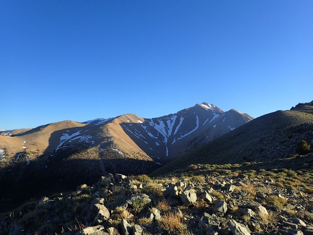
I made it to the top of the pass and set up camp, taking the time for a photograph looking north,
and more looking up towards Boundary Peak.
I could see that the trail was well maintained, even though the trail register was showing signs of neglect.
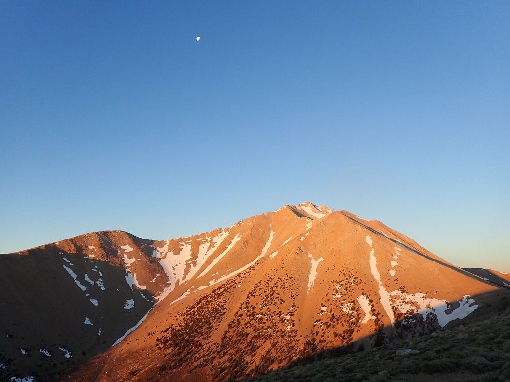
In the morning I got up early and began the process of hiking up the trail in the dark, the trail made it easy going and the sunrise made a beautiful effect on the peak.
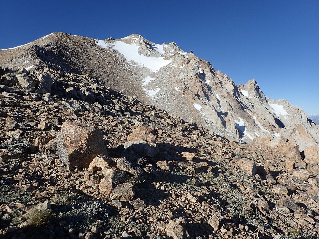
I hiked west until I reached the saddle on the north side, where I put on my mountaineering boots and began the ascent proper. It was fairly easy going, lots of scree and the trail no longer existed but it wasn't horrible.
There were sections on the top where the snow was several feet deep and there were large boulders to climb through but I never needed my crampons.
At the top I though about going down the boundary saddle and doing the peak in California,
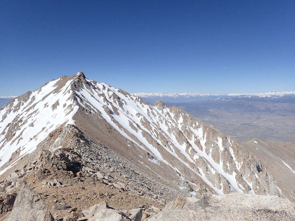
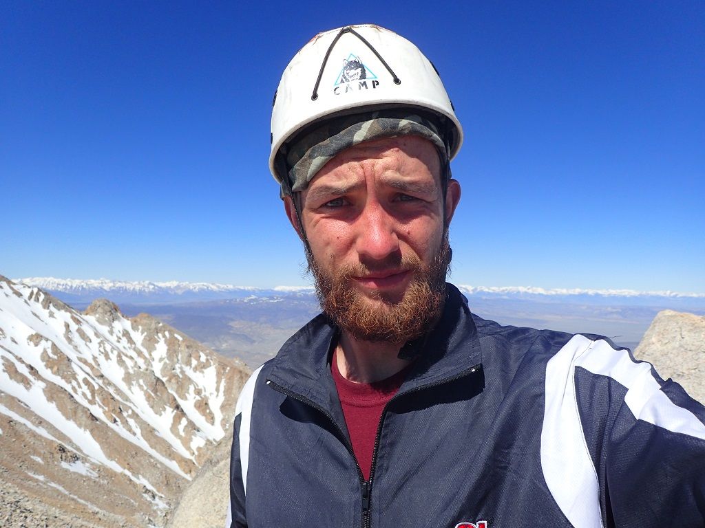
but didn't feel up to it so I took some more pictures and then headed down. The summit register had all sorts of funny entries and had lots of names since it is the highest point (as compared to the highest peak Mt. Wheeler) in Nevada.
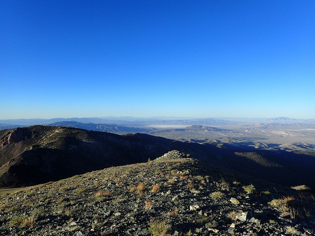
I passed several climbers on the way down, and found out from them that the road over Tioga pass into Yosemite was closed. I hiked back to camp at the trail head and from there back down the road until I reached my truck. I packed up and headed into California, sleeping next to my truck at Mono Lake.